Minami-Echizen Town’s Amazing Historical Dams
Posted on :
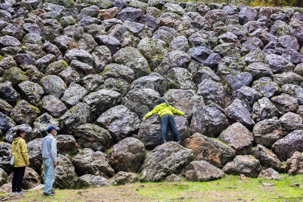
Well Worth a Visit: The Erosion Control Dams That Have Protected Villages for Over 100 Years
Minami Echizen Town in Fukui Prefecture is rich with the natural blessings from mountains and the sea. After having your fill of both, try something more niche with a tour of the town’s historic erosion control dams.
Erosion control (sabo) dams were built to prevent floods and landslides, and have many interesting little-known features. We took a tour of the Akatan Sabo and Kokuratani River Sabo dam groups, which were constructed during the Meiji period and are definitely worth a visit. Come along with us as we learn all the fascinating details from a local guide.
Contents:
- What Is a Sabo Dam?
- Registered Tangible Cultural Property: Akatan Sabo Dams
- Touring the Akatan Sabo Dams
- The Meiji Period Stone Kokuratani River Sabo Dams
- After the Civil Engineering Art, Relax in the Natural Hot Springs
What Is a Sabo Dam?
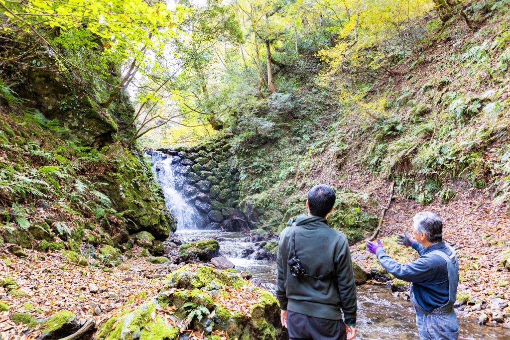
A sabo (erosion control) dam is a type of dam constructed along rivers and in mountainous areas to prevent landslides. They play an important role in blocking flows of soil from landslides and other disasters, reducing damage downstream and protecting people and their livelihoods.
“Sabo dams come in a huge variety of shape and scale. Even the manner in which the dams are constructed depends heavily on factors such as the soil quality or topography of the area, and every dam is unique.
”
“These stone dams were built using traditional construction methods dating back to ancient times, and look like works of civil engineering art in harmony with nature. There are even a number of enthusiasts who are fascinated by such dams and their structural beauty.
”
Registered Tangible Cultural Property: Akatan Sabo Dams
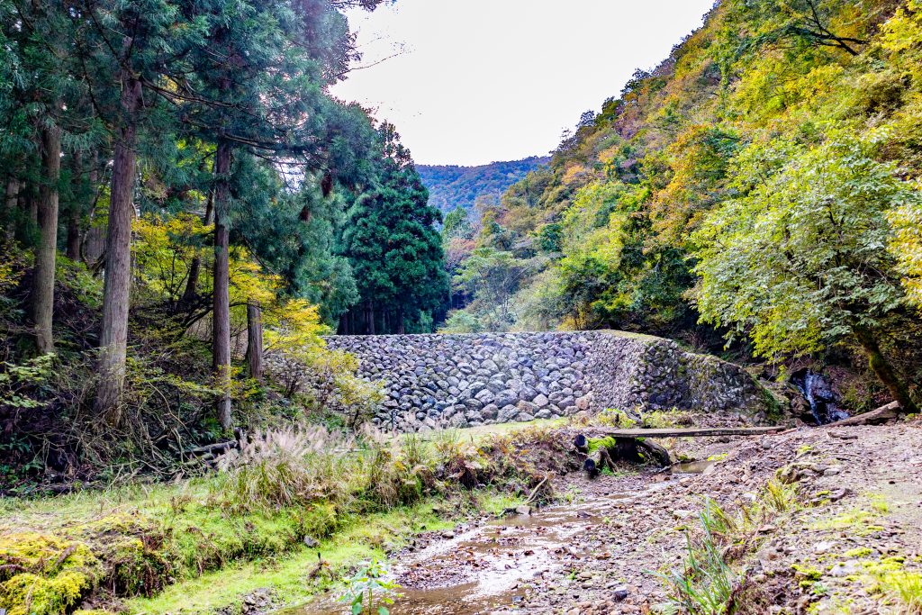
Flowing through the Furuki neighborhood and on through Minami-Echizen Town is Hino River, a Class A river. Following it upstream, you come to one of its tributaries, the Takura River, then further still up to the Akatani River (commonly known as the Akatan), which is dotted with a total of nine erosion control dams including seven stone dams made of huge boulders and two earth dams.
In response to landslides caused by heavy rains from 1895 to 1897 in Ohira, upstream of the Akatani River, the Akatan sabo dams were built over a period of seven years beginning around 1900 as Fukui Prefecture’s first stage of erosion control works. At the time, there were no erosion control specialists in Fukui Prefecture, so specialized stonemasons were brought in from Gifu Prefecture and the works were constructed using rocks and other materials found around the Akatani River. Not only local men, but also women and children pitched in, and it is said that two or three hundred people worked on the construction each day. Since then, it has continued to keep the area safe from landslides and has affectionately come to be known as Akatan Sabo by the locals.
“Its value as a historical construction was recognized, and this group of Meiji period sabo dams still in use today became a Registered Tangible Cultural Property in 2004.
”
Touring the Akatan Sabo Dams
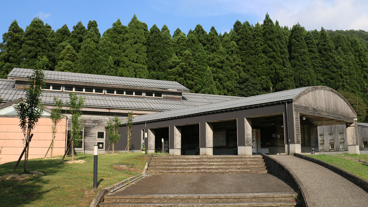
At the Retreat Takura experience center at the lower end of the Akatani River, you can learn about the Akatan Sabo through information panels and activity records from the Takura River and Living Association, a group formed by local residents that engages in activities such as promoting Akatan Sabo and environmental work. Be sure to stop by to learn more.
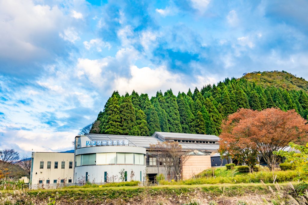
For an even deeper dive into the history of Akatan Sabo, please apply to Retreat Takura in advance, so that a speaker from the Takura River and Living Association can come and explain the history and role of Akatan Sabo.
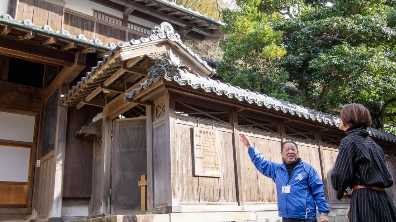
Mr. Kiemon Ito was kind enough to be our guide on this occasion, and we visited the lowest four of the nine dams of the Akatani River.
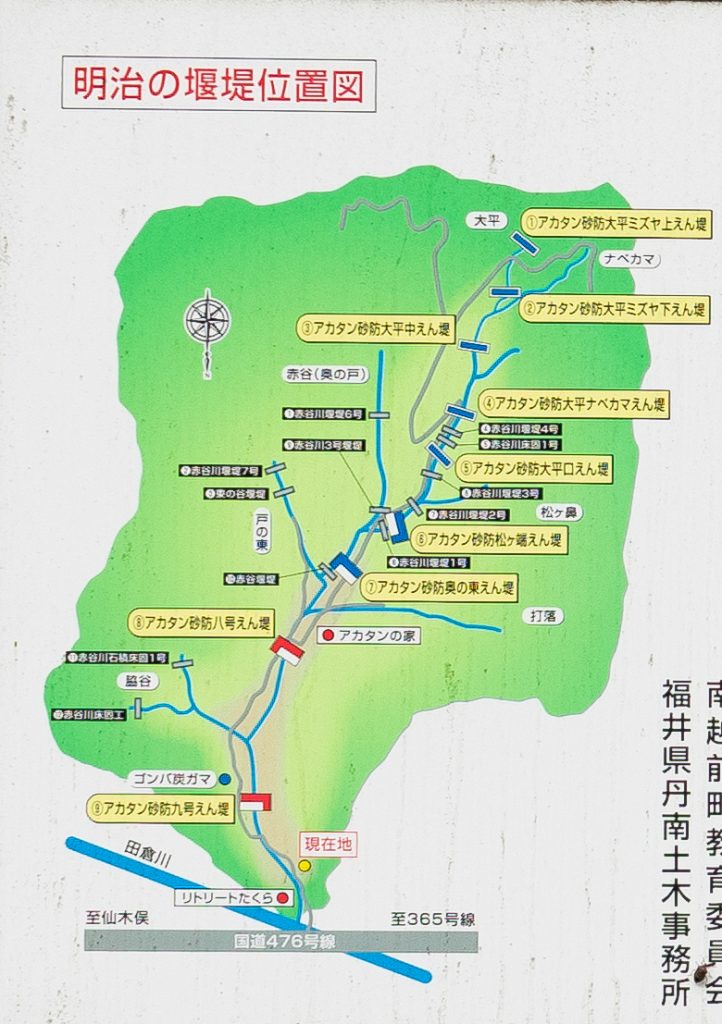
The four visited:
- Dam No. 9
- Dam No. 8
- Oku-no-Higashi Dam
- Matsugahata Dam
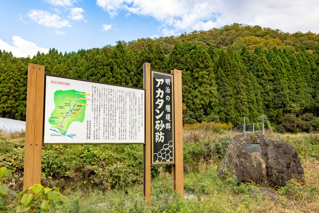
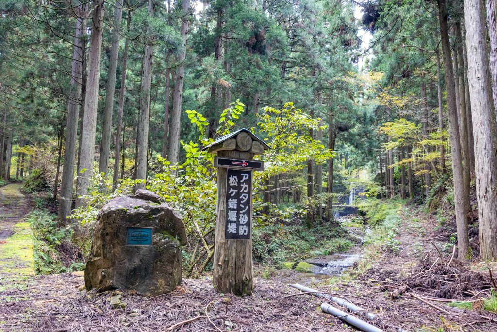
Near Retreat Takura’s cabins, there is a sign with information on Akatan Sabo and a stone monument marking its registration as a National Tangible Cultural Property. From here, a walking path follows the Akatani River up for about 3.5 kilometers towards the Ohira Nabekama Dam, which would take a little over an hour to reach. It’s a good idea to wear comfortable sneakers or hiking boots here.
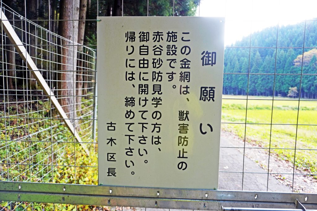
As you follow the path, you will come across a gate to keep wild animals out. Be sure to close it after you.
At Akatan Sabo, you may catch a glimpse of rare protected or even endangered species. One of the best things about this place is experiencing the natural environment and its wide variety of living things.
Akatan Dam No. 9
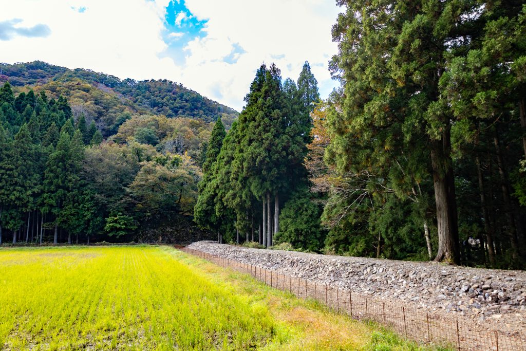
After walking for about ten minutes from the aforementioned sign, the first thing you will see is Dam No. 9, an earthen dam and the lowest of the Akatan Sabo Dam group. The earthen dam is 25 meters long and 8 meters high and on its left end is a 68-meter-long stone retaining dike. Rice paddies spread out just upstream of Dam No. 9, proof of how the dams prevented disasters and allowed the cultivation of the land below.
Akatan Sabo dams were built to take advantage of the terrain in order to mitigate flood damage from the Akatani River, preventing landslides in the valleys upstream and holding back sediment. It makes clever use of the natural bedrock by directing water towards either the left or right foot of the mountain, forcing floodwaters to flow into the mountain, slowing and controlling it. And because it uses the strong bedrock, it is also extremely durable.
Akatan Dam No. 8
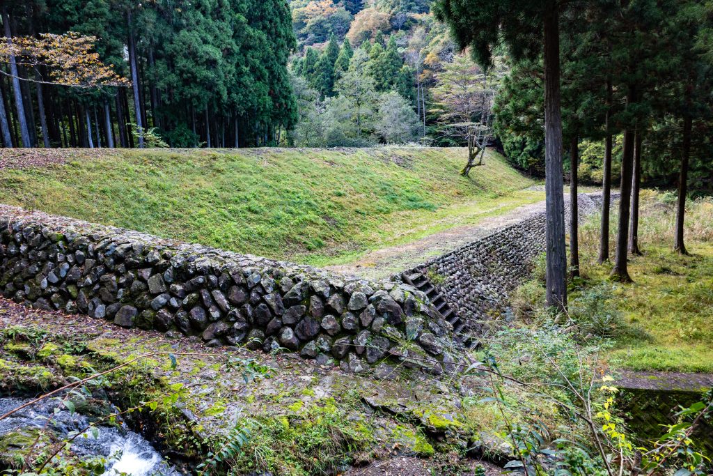
Next is Dam No. 8, an earthen dam about 13 minutes further upstream from Dam No. 9. With a length of 112 meters and a height of 11 meters, this is the largest of the Akatan Sabo dams. The lower part of the earthen dam on the downstream side is made of steeply sloping dry stone masonry, which prevents sediment buildup and allows the water to flow easily.
Akatan Oku-no-Higashi Dam
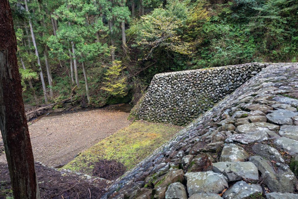
Next is the Oku-no-Higashi Dam, located another 13 minutes beyond Dam No. 8. This is a stone dam with a length of 25 meters and a height of 8 meters. Perpendicular to the water passage on the right end of the dam is a 21-meter-long retaining dike. This is a beautiful curved dam that was built to blend in with the natural greenery.
Akatan Matsugahata Dam
“The last stop on our tour was Matsugahata Dam, just 3 minutes away from Oku-no-Higashi Dam. This dry stone masonry structure is 27 meters long and 7 meters tall. A 24-meter-long retaining dike is connected at a right angle to the water passage at the left end of the dam.
”
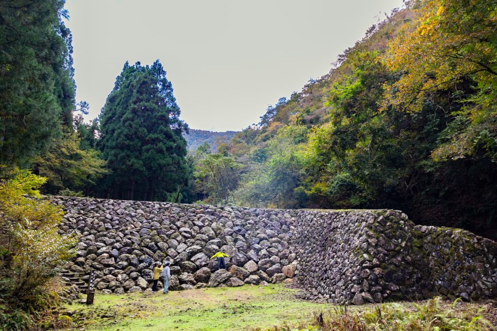
The precisely stacked stones resemble a turtle shell. Natural, unworked rocks are piled up horizontally, with each stone is surrounded by six or seven others. By not packing soil between the stones, water is allowed to easily pass through the gaps even when water levels rise.
You can’t help but be captivated by this incredibly strong and beautiful collection of rocks–plus that the people of that era carefully selected each one and worked together to pile them up.
In today’s world of advanced mechanization, even transporting huge stones requires the use of cranes and heavy machinery. It’s amazing to think that over 100 years ago, people transported and assembled so many large stones by hand. Standing in front of the dam, you can imagine these people from long ago, working enthusiastically to protect their homes.
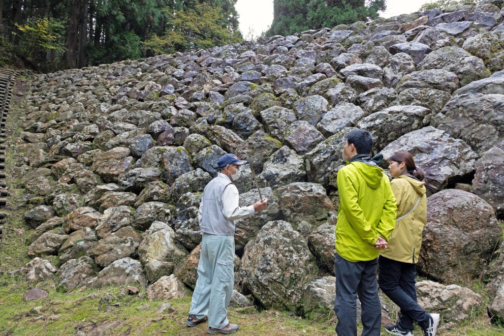
Akatan had several dams and ponds, and when I was a kid, I caught fish and played in the water, reminisces our guide Mr. Ito. “I didn’t know that this place had any historical value back then.”
In fact, it seems that Akatan Sabo had been forgotten by local residents for many years. Relying on the memories of local elders, Mr. Ito and other local residents spent about seven years discovering all nine sites and restoring them to their current glory, much the same as when they were first constructed. It was no easy task–weeds were cleared, and tall trees that had grown over the years were felled. The “Takura River and Living Association” was established in 1998, and its members continue to maintain such treasures. The sweat and skill of the many people who worked to protect others from flooding along the Akatani River remains a proud heritage to this day.
————————————————————————————————————————
Access:
Akatan Sabo Dams
Furuki, Minami-Echizen-cho, Nanjo-gun, Fukui Prefecture
Tel: 0778-45-1310 (To request a guide at Retreat Takura)
About 20 minutes by car from the Imajo and Nanjo Smart IC exits on the Hokuriku Expressway
https://www.minamiechizen.com/spot/19465/
————————————————————————————————————————
The Meiji Period Stone Kokuratani River Sabo Dams
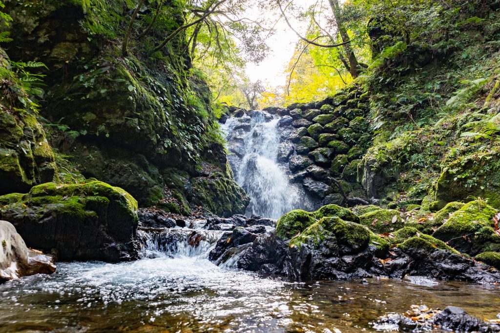
A total of twelve erosion control dams, constructed by piling up natural stones, are dotted around Kokuratani River, which flows through the Seto village at the upper reaches of the Hino River, a Class A river. Beginning around 1900, they were built over a period of seven years, after heavy rains in 1895 caused landslides that flooded fields and houses. For the 100 years since, it they have proven to be effective erosion control dams.
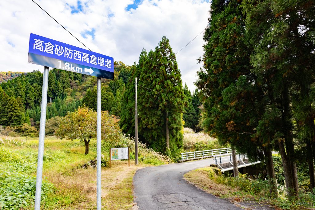
With local resident Toshinori Ito as our guide, we took a tour of three of these Kokuratani River Sabo Dams.
The road to Kokuratani River Sabo Dams passes through the Seto village, so if you are driving, please drive slowly and consider the safety of the residents.
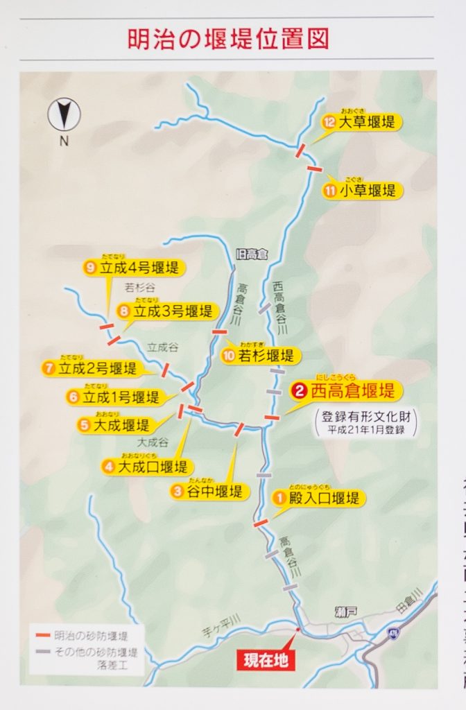
The three visited:
- Nishikokura Dam
- Tannaka Dam
- Tatenari No. 1 Dam.
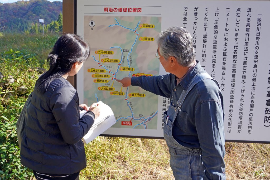
We start from the information sign and drive on the forest road heading up the Kokuratani River. If you would like to walk, there is space for one car to park next to the sign. According to Mr. Ito, it is about a 40-minute walk from there to the Tatenari dams.
Kokuratani Sabo Nishikokura Dam
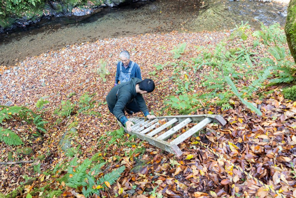
After passing Tono-Nyuguchi Dam, the lowest of the Kokuratani River Sabo Dam group, the first place we visited was Nishikokura Dam, reaching it in about 7 minutes. There is space for several cars to park and a ladder along the river to descend to the water’s edge. Be careful when climbing up and down.
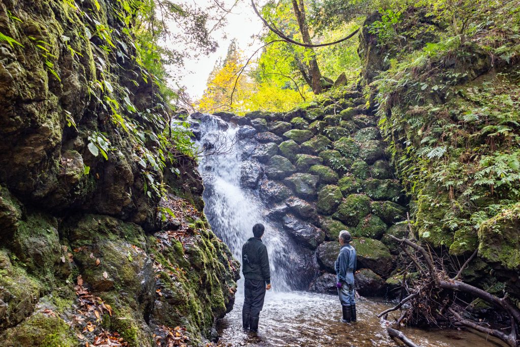
Nishikokura Dam is a stone dam with a length of 19 meters and a height of 9.6 meters. The Kokuratani River Sabo Dams were built using natural stones found in the river, fitting the unworked stones together firmly with no mortar for a surprisingly strong structure. This same style of stacking stone can also be seen in castle walls. It was built at the same time as the Akatan Sabo Dams by the same engineer, but is constructed differently using the “nawatarumi” method, with a passage for water in the center. The great historical value of the Nishikokura Dam allowed it to be designated a Registered National Tangible Cultural Property in 2009.
From the front of the dam, the water flowing over the rock is pleasant, and the weaving of clear water and lush green makes this a great spot to cool off on a hike.
Kokuratani Sabo Tannaka Dam
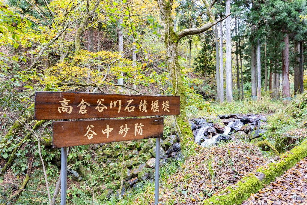
Another three minutes driving upstream brings you to Tannaka Dam right next to the sign for it.
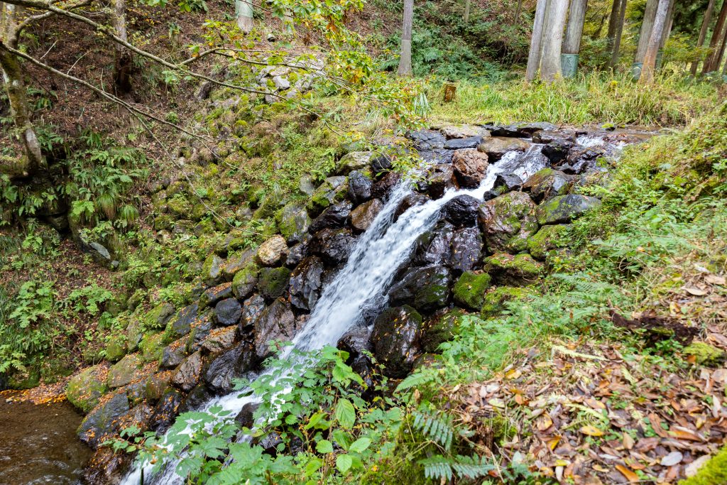
The stones are stacked in an ingenious way so that water does not fall all at once, but instead trickles down through the middle.
Kokuratani Sabo Tatenari No. 1 Dam
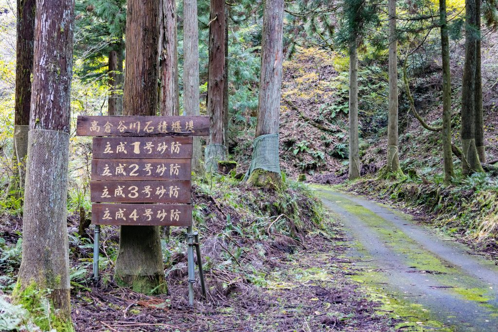
About five minutes from Tannaka Dam is Tatenari No. 1. Farther along are Tatenari No. 2, No. 3, and No. 4 dams, but this time we only visited Dam No. 1, which is just beyond the sign. Be careful as the road is narrow.
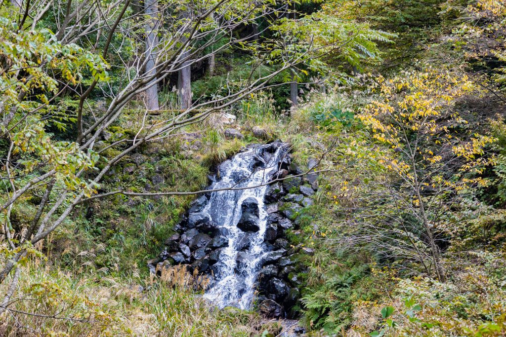
Tatenari No. 1 Dam blends in so well with nature that it looks like a natural feature. It’s very interesting seeing the different ways the stones are stacked for each dam.
According to Mr. Ito, the only way to see the Tatenari No. 2, No. 3, and No. 4 Dams further upstream is on foot, but Wakasugi Dam is reachable by car. The Ogusa and Kogusa Dams farthest upstream are difficult to reach without a local guide, as there is a high chance of getting lost.
Even after 100 years, the Kokuratani River Sabo Dams still stand firm, protecting the Seto village from landslides. Try taking a beautiful walk through history and technology and reflect on the ingenuity of those who came before us.
————————————————————————————————————————
Access:
Kokuratani River Sabo Dams
45 Nishikokura, Seto, Minami-Echizen-cho, Nanjo-gun, Fukui Prefecture
About 30 minutes by car from the Imajo and Nanjo Smart IC exits on the Hokuriku Expressway
https://www.minamiechizen.com/spot/19465/
————————————————————————————————————————
After the Civil Engineering Art, Relax in the Natural Hot Springs
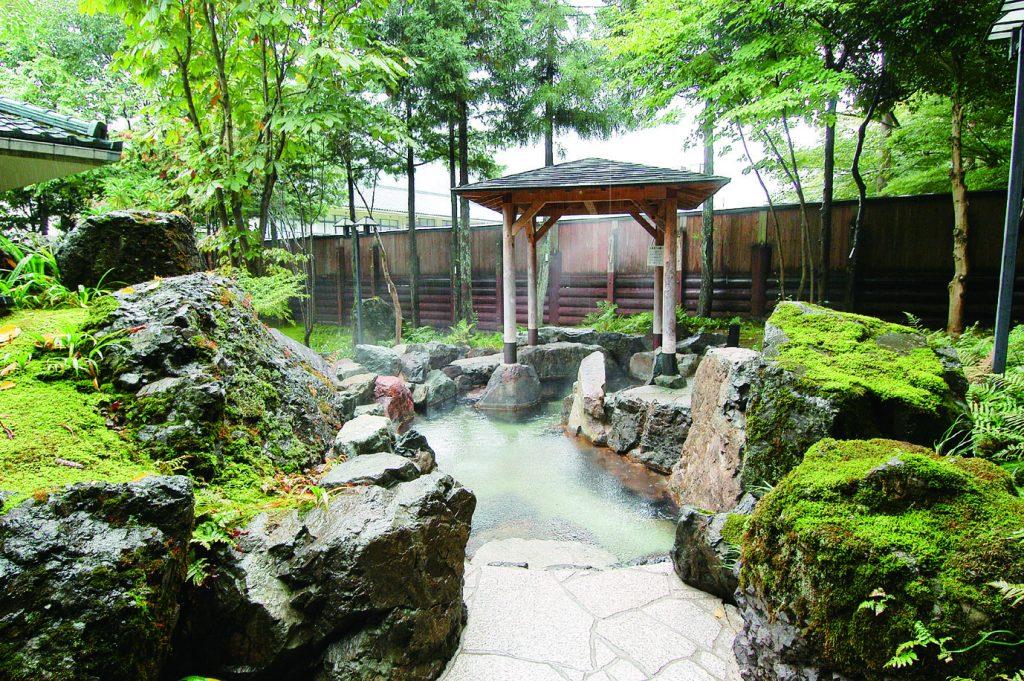
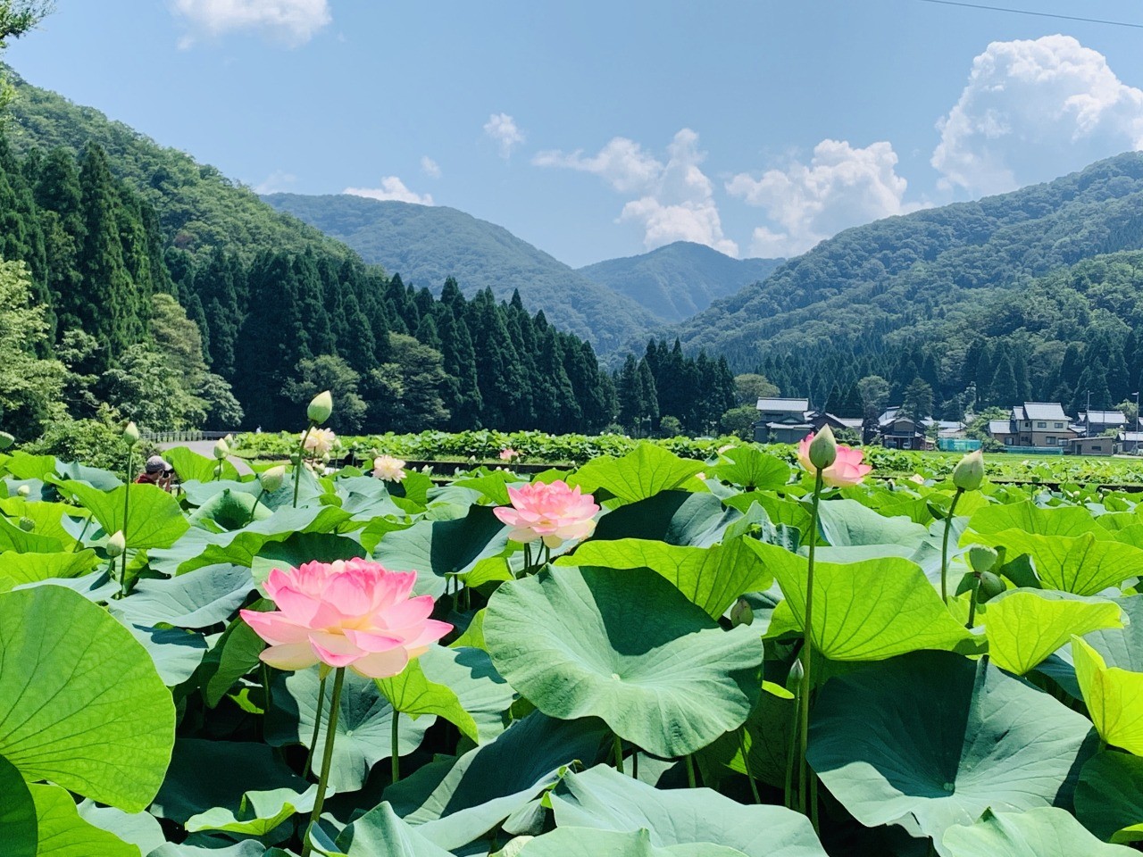
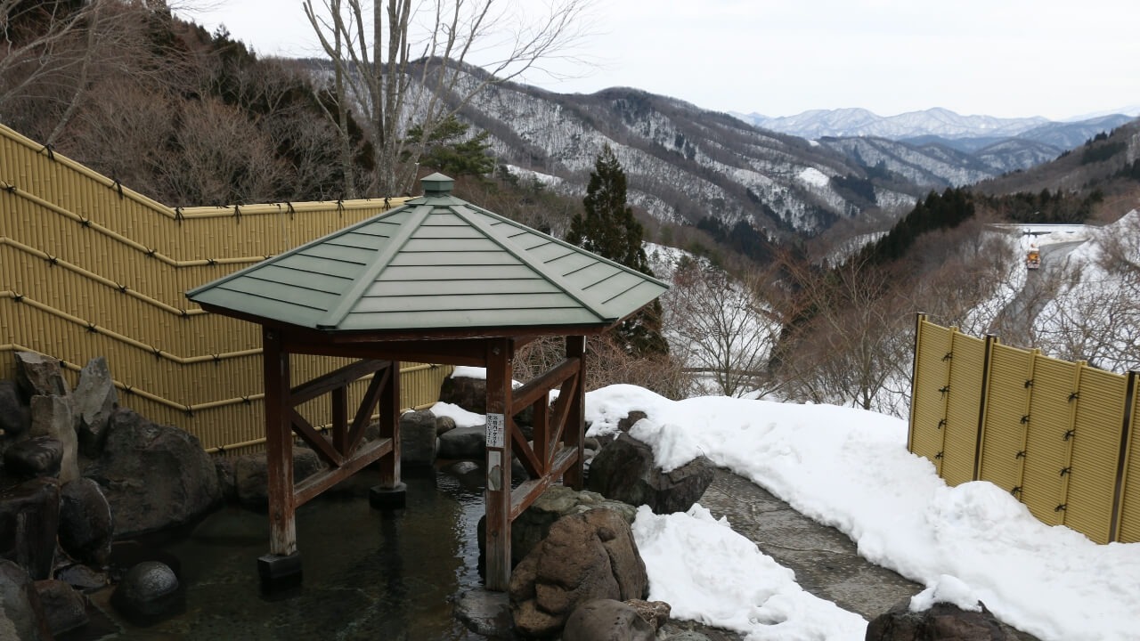
After enjoying a hike around the erosion control dams, we recommend soothing your tired body in the hot springs at Hanahasu Onsen Somayama. Relax in the natural hot spring water pumped up from 1,000 meters underground. The lotus bath, with real lotus extract, is unique to this lotus-flower-producing region. Or try the open-air bath and bathe surrounded by trees.
————————————————————————————————————————
Access:
Hanahasu Onsen Somayama
60-1 Nakagoya, Minami Echizen-cho, Nanjo-gun, Fukui Prefecture
Tel: 0778-47-3368
Hours: 8am-10pm (reception until 9pm)
Closed: Every Tuesday (open if public holiday, New Year holidays, or Lotus Festival)
Admission: adults (junior high school students and up) 650 yen, children (3 years and up) 350 yen
https://www.minamiechizen.com/spot/19561/
————————————————————————————————————————
Take a look at the various sabo dams on your next day off and experience their history and technology for yourself!


